
Georeferencing Middle Earth - Vector Update
Hi all,
Don't get all excited just yet, this is the update that should have happened about 5 years ago just showing you where I was at with the Middle Earth map I was working on. All credit for the map needs to go to http://www.lords-of-blah.nl
So a quick recap:
I started with georeferencing a raster version of the MEarth map. Then I found a vector pdf version of it and did a faux CAD style georeference on that to match up with my raster. Then came a shed load of cleaning up lines and creating points for my symbols to go on, storing place names against said points etc. error checking (esp around the Sea of Rhun). Finally I'd converted the symbols (towers, swamp fills etc) from the vector pdf to scalable symbols.
For my previous post on how this all began GO HERE.
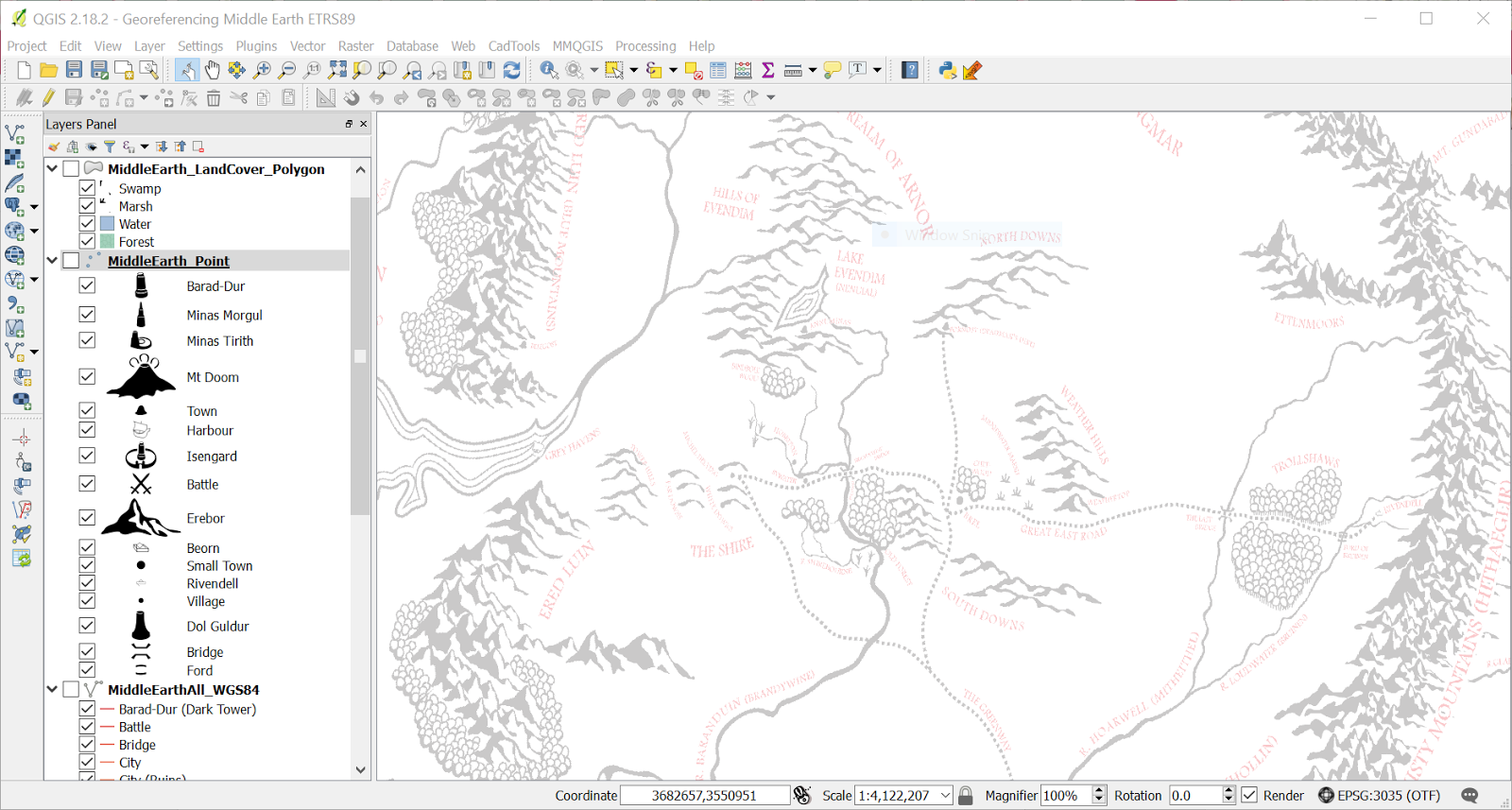
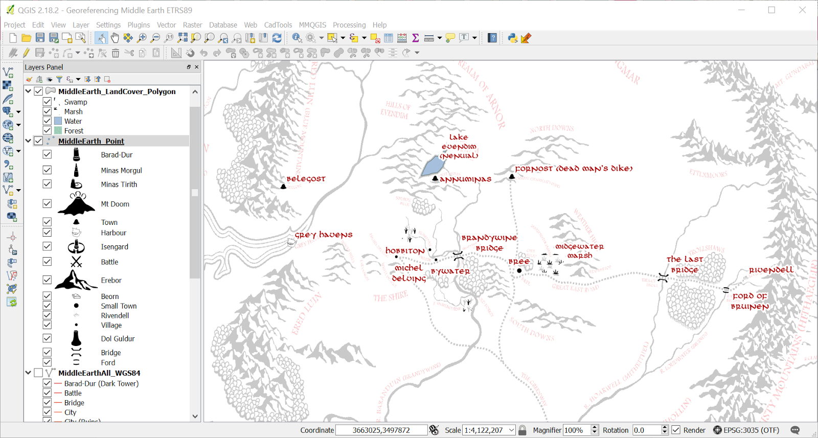
So I'm just going to leave you with a few screenshots that will tell you much more of where I got to, I'm wanting to spend a bit of time on this again.. I'm currently reading the Children of Hurin so while my mind is back in this world, here is the preliminary teaser to, hopefully, more maps and perhaps if anyone is interested I may one day release a set of symbols for you (once I get permission from the original map maker)
Here tis..


Cheers
Melissa
Don't get all excited just yet, this is the update that should have happened about 5 years ago just showing you where I was at with the Middle Earth map I was working on. All credit for the map needs to go to http://www.lords-of-blah.nl
So a quick recap:
I started with georeferencing a raster version of the MEarth map. Then I found a vector pdf version of it and did a faux CAD style georeference on that to match up with my raster. Then came a shed load of cleaning up lines and creating points for my symbols to go on, storing place names against said points etc. error checking (esp around the Sea of Rhun). Finally I'd converted the symbols (towers, swamp fills etc) from the vector pdf to scalable symbols.
For my previous post on how this all began GO HERE.
So I'm just going to leave you with a few screenshots that will tell you much more of where I got to, I'm wanting to spend a bit of time on this again.. I'm currently reading the Children of Hurin so while my mind is back in this world, here is the preliminary teaser to, hopefully, more maps and perhaps if anyone is interested I may one day release a set of symbols for you (once I get permission from the original map maker)
Here tis..


Let me know what you think!
Cheers
Melissa


Comments
Post a Comment